
Cupertino ZIP Code Coverage
Only two postal codes are verified in the local research. They do not carry the same kind of geography. 95014 is the principal Cupertino street-delivery ZIP, but a 95014 mailing address can sit beyond the incorporated boundary. 95015 serves Cupertino post-office boxes and cannot define a residential street or block. No official city or USPS source verified additional street-delivery ZIPs for Cupertino, and no dated realignment was verified.
| ZIP | Areas Covered | Post Office | Notes |
|---|---|---|---|
| 95014 | Principal Cupertino street-delivery area; some postal addresses extend beyond the incorporated boundary | Cupertino Post Office and USPS facilities serving the area | Postal city is not proof of city jurisdiction |
| 95015 | Cupertino post-office boxes | Cupertino postal facility | PO-box ZIP, not residential street geography |
The table is deliberately narrow. Third-party lists may show more entries, but the available local source set did not verify them. Treat an unconfirmed ZIP as a prompt for a USPS check, not as proof that a street belongs to Cupertino or that a person lives inside a municipal line.
The USPS ZIP Code Lookup supplies the routing check that belongs before a postal search.
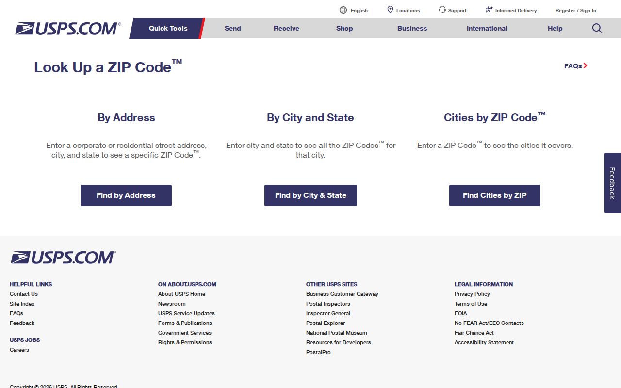
USPS can confirm a deliverable address and its ZIP code, but it does not decide whether a parcel is inside Cupertino city limits or which county office holds a record.
Cupertino 95015 PO-Box ZIP
95015 is useful for mail routing, but it is not a map of homes, streets, or neighbors. A PO-box ZIP points to postal delivery at a facility. It cannot place a person on a block, identify a parcel, or establish that an address falls within the incorporated city. That distinction matters when a name search returns a mailing label with no matching situs address.
Use a street address or APN when the question is tied to land. The Santa Clara County assessor accepts an address or APN, and the county GIS can show parcel boundaries. A PO box should stay in the mailing-address field. It should not be silently substituted for the physical location in a deed, permit, map, or historical directory search.
The 95015 finding is also an interest point for the Cupertino ZIP code directory: a postal code can look like a city-wide geography while describing only a narrow delivery function. The absence of a verified additional street-delivery ZIP or dated realignment is part of the answer, not a gap to fill with an unsourced list.
Cupertino Permit Jurisdiction
Cupertino’s permit system supplies a practical jurisdiction clue. In Accela, a past-record search can be made without an account. If an address does not autocomplete and does not return a record, the city warns that it is outside Cupertino jurisdiction. That result is not a ZIP ruling. It is a sign to route the address toward county or neighboring-city planning records, even when USPS accepts a Cupertino postal city.
The same test helps sort a postal-zone result. First check the current mailing address with USPS. Then test the address in the city permit system. A successful city result supports a city-record path. A failed autocomplete calls for a boundary check in the County Property Explorer entry point and the applicable GIS layer.
Permit records can show a project address, record number, type, status, dates, scope, parcel, and contacts when the record makes them public. An applicant or contractor name is not proof of residence. The address and jurisdiction fields are the useful parts for a ZIP-based location check.
On April 10, 2026, Santa Clara County announced a unified Property Explorer replacing Interactive Property Assessment and Property Profile by the end of April. It combines parcel detail, an interactive map, and layers. Older instructions may name the replaced applications, so use the current county entry point when a ZIP search needs parcel context.
Finding Residents by ZIP Code
A ZIP-wide search needs the right record source. Cupertino Accela accepts a City, State, and Zip entry, so it can be tried with a date range or record type that narrows the result. The assessor interface has a City field but no verified ZIP field. GIS can show boundaries and selected parcels, while the county voter tool is for a person to verify their own registration, not for a public ZIP list.
- Verify the deliverable address and ZIP with USPS.
- Test the city, state, and ZIP in Accela, then narrow by date or record type.
- Use the assessor address or APN search and the county GIS to connect a result to a parcel.
- Use voter-file channels only when the request has an approved purpose, signed form, fee, and permitted geography.
- Move from ZIP to a named street when the question needs parcel-level detail.
For that last step, the Cupertino street directory path is more precise. It works from address and parcel records rather than treating a postal zone as a list of residents.
Cupertino Accela ZIP Fields
The Accela field set explains what a ZIP code directory search can and cannot do. The ZIP field is one part of a permit query. It does not turn the permit system into a people index. Use a date pair, record type, or street field to reduce broad results, then read the record itself.
| Field | How It Works in Cupertino Accela |
|---|---|
| Search type | Includes Site Address, Parcel Number, Record Information, and contact options |
| Street fields | Street number, direction, name, and type can narrow an address |
| City / State / Zip | Text fields; ZIP supports a five-digit entry |
| Parcel number | APN field for a known parcel |
| Start / End Date | Date pair in MM/DD/YYYY format |
| Record number | Exact or known permit identifier |
| Search and Clear | Run the query or reset the fields |
The Cupertino Accela permit search is therefore a documented ZIP-capable channel, not a general resident lookup. Read its address, parcel, and date evidence with the same care used for any public record.
Cupertino Assessor City Field
The Santa Clara County Real Property Search uses a City field and address or APN modes. Its advanced form includes street number, direction, street name, street type, unit, city, and APN options. The public interface did not show a ZIP field or an owner-name tab. That is why a complete postal directory cannot be built by copying a ZIP into the assessor search and expecting a resident list.
An assessor search is about a parcel. Situs is the physical land address. A mailing address is where tax correspondence goes. The two can differ, and a difference may suggest an owner is elsewhere, but it never proves who occupies the parcel. The assessor also does not expose a public list of household members or utility subscribers.
Use the Santa Clara County assessor search for a known address or APN, then use county GIS for spatial context. Keep the USPS result in its proper role: routing evidence, not assessor geography.
Cupertino ZIP History
Older records may use Monta Vista or Santa Clara County instead of Cupertino. Cupertino was unincorporated for the first century of the county’s record run. It incorporated on October 10, 1955, after a September 27 vote, partly in response to concern about piecemeal annexation. Rancho Rinconada and other neighborhood histories also show why a postal label, a tract name, and a city name may not line up in an older source.
Preserve the name used by the record. Compare the ZIP, address, APN, subdivision or tract, and legal description rather than changing every old label to a current one. A 95014 label can reach past the incorporated line, while a historical Monta Vista reference may describe a local place before municipal language settled. Census QuickFacts for Cupertino supplies current city context, but it is not a ZIP-level resident list.
The Cupertino City Records archive is a useful local channel for city-created material and historical context.
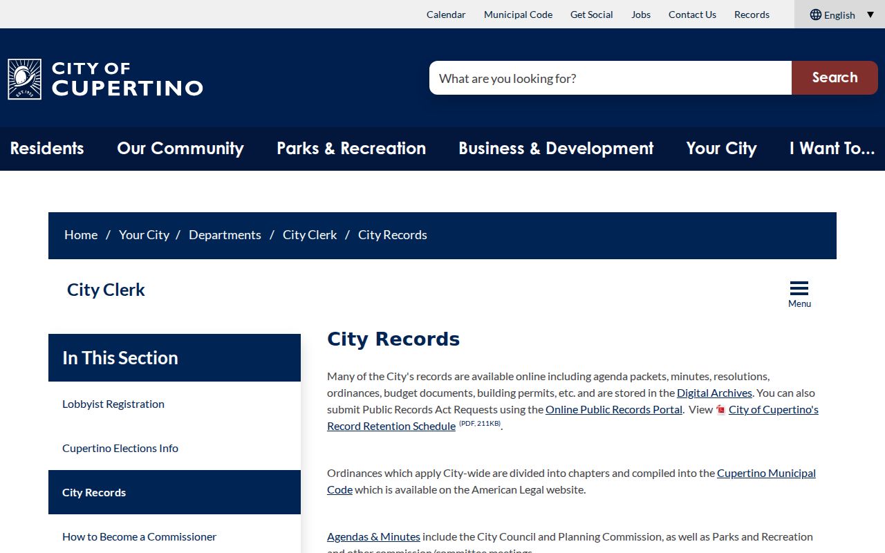
City archives can explain municipal records and boundary history, but they do not replace USPS for current delivery or the county assessor for parcel detail.
Cupertino USPS ZIP Authority
USPS is the authority for whether a current address is deliverable and which ZIP routes the mail. The online lookup is the first channel. A city permit query, assessor search, county GIS map, and City Clerk request are separate channels with separate jurisdiction rules. When a portal fails, keep the address and request narrow, then ask the custodian for an existing record rather than asking an office to create a new postal roster.
For public voter data, the county self-verification tool requires identity fields and does not display a public name list. A broader voter-file request requires an applicant or organization, contact details, requested geography, a qualifying purpose, acknowledgments, wet signature, date, and fee. Mail the signed request to the Registrar of Voters channel. Residence, phone, email, and precinct information are confidential from the general public for at least 100 years under Elections Code sections 2194 and 2194.1.
That channel mix keeps a postal directory honest. USPS answers routing. Cupertino answers city-created permits and archives. Santa Clara County answers parcel and GIS questions. The Registrar handles approved voter-file access. None of those channels, alone, is a public list of every person linked to a ZIP.
ZIP Code Boundaries and Cupertino
Postal and municipal maps answer different questions. A 95014 mailing label does not establish municipal residence. A 95015 PO box does not establish a block. A failed Cupertino permit autocomplete is a useful jurisdiction clue, but it still calls for a county or neighboring-city check. Use the address, APN, legal description, and custodian record together.
- ZIP code
- A postal routing area used by USPS for delivery. It is not a city boundary or a resident roll.
- ZIP+4
- The ZIP code plus four extra digits that refine delivery to a route, block, building, or delivery segment.
- PO-box ZIP
- A ZIP code used for post-office boxes. It does not describe residential street geography.
- Unique ZIP
- A ZIP assigned to a single large organization or institution. No such additional Cupertino street-delivery ZIP was verified here.
- Carrier route
- A delivery path used by a carrier within a postal area. It is a routing concept, not a legal parcel boundary.
Use the narrow proof. A postal code is useful for routing, broad permit filtering, and finding the next custodian. Personal searches should still rely on lawful records, avoid assumptions about a person, and never turn a postal label into a public block list.